Minneapolis
Minnesota

City description
Nicknamed the City of Lakes, visitors and residents can explore more than 20 pristine lakes, streams, wetlands and rivers. Stroll over the St. Anthony Falls Bridge to take in the sights and sounds of the city’s historic Riverfront District. The downtown area connects over nine miles of buildings, spanning more than 69 city blocks, by climate-controlled, above-ground tunnels –perfect for the cold winter months. Uptown is for outdoor enthusiasts with its many lakes and trails.

Walking route
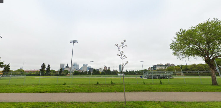
This is a 10594 steps walking route in Minneapolis featuring Historic Third Ward District Riverwalk. The route passes by 3 points of interest and would take roughly 128 minutes to walk.
- Distance Instructions
- Distance 5.3 miles
- Time 2 h 7 min
- Steps 10594
- Speed 2 mph
- Min altitude 577 ft
- Peak 630 ft
- Climb 358 ft
- Descent 358 ft
Points of interest on this walking route
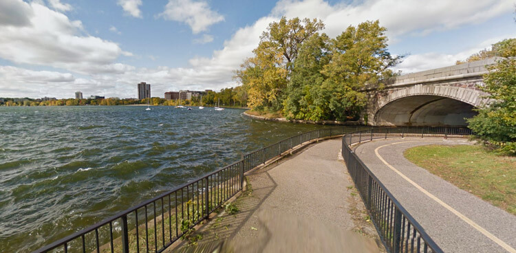
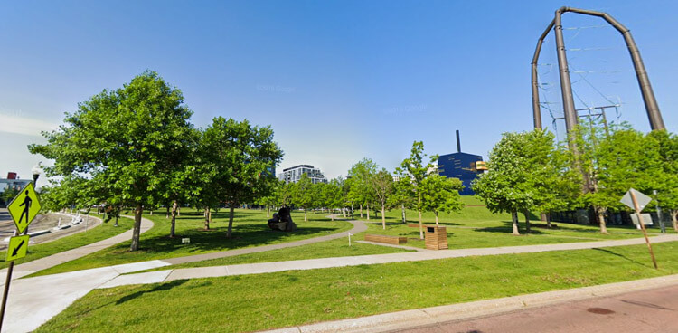
- Pere Marquette Park
- Bronze Fonz
- N Riverwalk Walkway

Views on the route
More
Interested in learning more about how to walk Minneapolis? Check out these links for additional curated resources.


City description
Nicknamed the City of Lakes, visitors and residents can explore more than 20 pristine lakes, streams, wetlands and rivers. Stroll over the St. Anthony Falls Bridge to take in the sights and sounds of the city’s historic Riverfront District. The downtown area connects over nine miles of buildings, spanning more than 69 city blocks, by climate-controlled, above-ground tunnels –perfect for the cold winter months. Uptown is for outdoor enthusiasts with its many lakes and trails.
Walking route
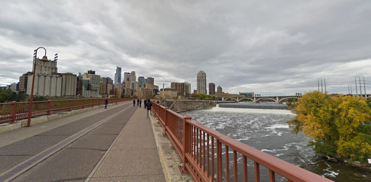
This is a 11198 steps walking route in Minneapolis featuring St. Anthony Falls Stone Arch Bridge. The route passes by 4 points of interest and would take roughly 136 minutes to walk.
- Distance Instructions
- Distance 5.6 miles
- Time 2 h 15 min
- Steps 11198
- Speed 2 mph
- Min altitude 725 ft
- Peak 846 ft
- Climb 587 ft
- Descent 587 ft
Points of interest on this walking route
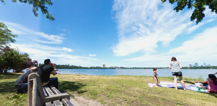
- Stone Arch Bridge
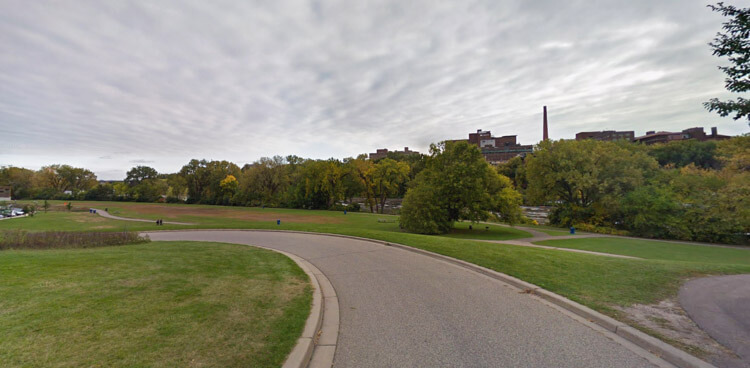
- Gold Medal Park
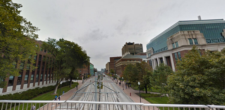
- University of Minnesota
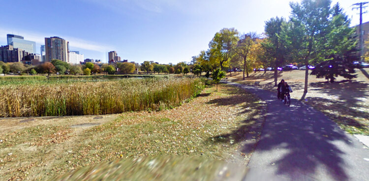
- East River Flats Park
Views on the route
More
Interested in learning more about how to walk Minneapolis? Check out these links for additional curated resources.
City description
Nicknamed the City of Lakes, visitors and residents can explore more than 20 pristine lakes, streams, wetlands and rivers. Stroll over the St. Anthony Falls Bridge to take in the sights and sounds of the city’s historic Riverfront District. The downtown area connects over nine miles of buildings, spanning more than 69 city blocks, by climate-controlled, above-ground tunnels –perfect for the cold winter months. Uptown is for outdoor enthusiasts with its many lakes and trails.
Walking route
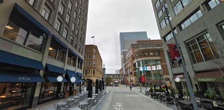
This is a 9290 steps walking route in Minneapolis featuring Downtown. The route passes by 3 points of interest and would take roughly 113 minutes to walk.
- Distance Instructions
- Distance 4.64 miles
- Time 1 h 52 min
- Steps 9290
- Speed 2 mph
- Min altitude 814 ft
- Peak 860 ft
- Climb 177 ft
- Descent 174 ft
Points of interest on this walking route
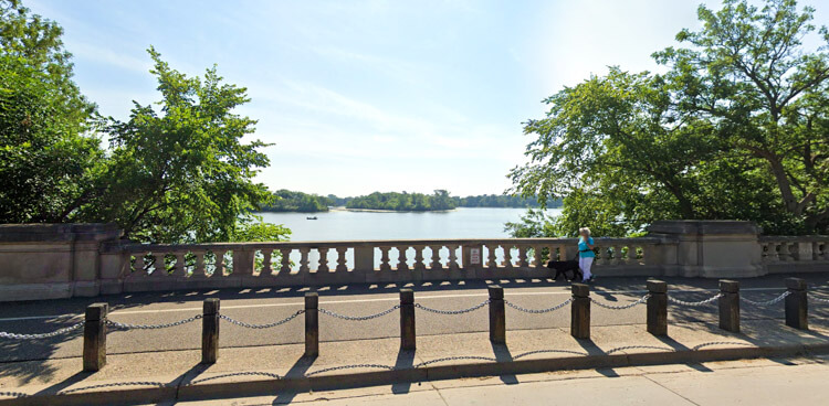
- Loring Park Greenway
- Parade Park
- Nicollet Mall
Views on the route
More
Interested in learning more about how to walk Minneapolis? Check out these links for additional curated resources.