Sacramento
California

City description
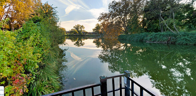
Visit the California capital and explore its many landmarks including the State Capitol building, Tower Bridge, Sacramento Historic City Cemetery and Sutter’s Fort park. The city is filled with accessible and beautiful walking trails for all to enjoy, especially the scenic waterfront paths along the American River, which includes the 1,100-foot path along the Guy A. West Memorial Bridge. You can also explore old downtown Sacramento with its great variety of shopping and dining establishments.

Walking route
This is a 12852 steps walking route in Sacramento featuring Levee Path to McKinley Park. The route passes by 3 points of interest and would take roughly 156 minutes to walk.
- Distance Instructions
- Distance 6.43 miles
- Time 2 h 35 min
- Steps 12852
- Speed 2 mph
- Min altitude 20 ft
- Peak 52 ft
- Climb 125 ft
- Descent 131 ft
Points of interest on this walking route
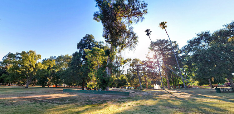
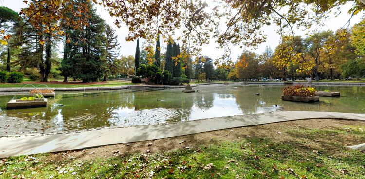
- McKinley Park
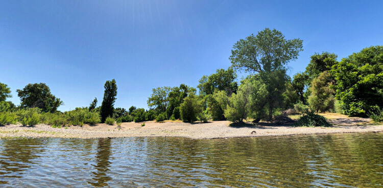
- Paradise Beach
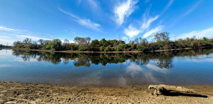
- Sutter's Landing Park

Views on the route
More
Interested in learning more about how to walk Sacramento? Check out these links for additional curated resources.


City description
Visit the California capital and explore its many landmarks including the State Capitol building, Tower Bridge, Sacramento Historic City Cemetery and Sutter’s Fort park. The city is filled with accessible and beautiful walking trails for all to enjoy, especially the scenic waterfront paths along the American River, which includes the 1,100-foot path along the Guy A. West Memorial Bridge. You can also explore old downtown Sacramento with its great variety of shopping and dining establishments.
Walking route
This is a 10532 steps walking route in Sacramento featuring William Land Park. The route passes by 4 points of interest and would take roughly 128 minutes to walk.
- Distance Instructions
- Distance 5.27 miles
- Time 2 h 7 min
- Steps 10532
- Speed 2 mph
- Min altitude 10 ft
- Peak 26 ft
- Climb 92 ft
- Descent 92 ft
Points of interest on this walking route
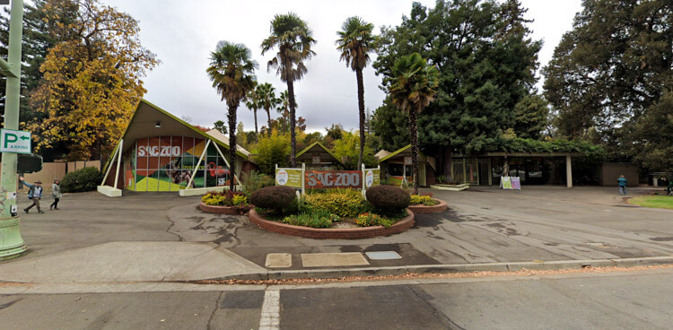
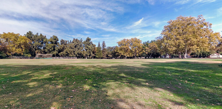
- Sacramento Zoo
- Duck Lake
- Curtis Park
- Doc Oliver Field
Views on the route

More
Interested in learning more about how to walk Sacramento? Check out these links for additional curated resources.
City description
Visit the California capital and explore its many landmarks including the State Capitol building, Tower Bridge, Sacramento Historic City Cemetery and Sutter’s Fort park. The city is filled with accessible and beautiful walking trails for all to enjoy, especially the scenic waterfront paths along the American River, which includes the 1,100-foot path along the Guy A. West Memorial Bridge. You can also explore old downtown Sacramento with its great variety of shopping and dining establishments.
Walking route
This is a 9752 steps walking route in Sacramento featuring Downtown. The route passes by 3 points of interest and would take roughly 118 minutes to walk.
- Distance Instructions
- Distance 4.88 miles
- Time 1 h 57 min
- Steps 9752
- Speed 2 mph
- Min altitude 3 ft
- Peak 33 ft
- Climb 135 ft
- Descent 135 ft
Points of interest on this walking route
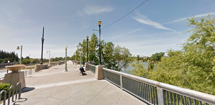
- Riverfront Promenade
- Southside Community Park
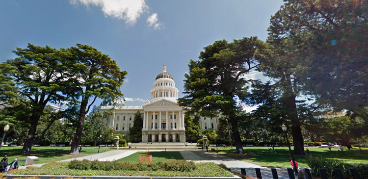
- California State Capitol
Views on the route
More
Interested in learning more about how to walk Sacramento? Check out these links for additional curated resources.